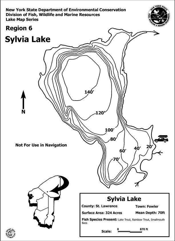
Sylvia Lake Maps
In 2016, lake resident Bill deLorraine created an updated map of Sylvia Lake. This is the property owner's map that has been regularly updated. To protect people's privacy, we did not include owner's names. In June 2022, Shari Barnhart and Lea Dickson continue to update the map to reflect the current property owners and locations around the lake. The current map is under review right now. (6/26/22) So come back to see the latest information.
This Owner map is behind a password wall. If you've put your info into the Sylvia Lake Directory, you have been sent a password. You can use the same password for the map page. Forgot it?

This is the "First Responder's" board, located at the junction of West Shore Road and North Shore Road. The map is based on Bill deLorraine's earlier maps, but the names have been removed and the roads highlighted. It was funded by the S.L. Association and was constructed by Tim Knowlton & Kids from BOCES.


